Varicent Sales Planning Release 87
We made something for you
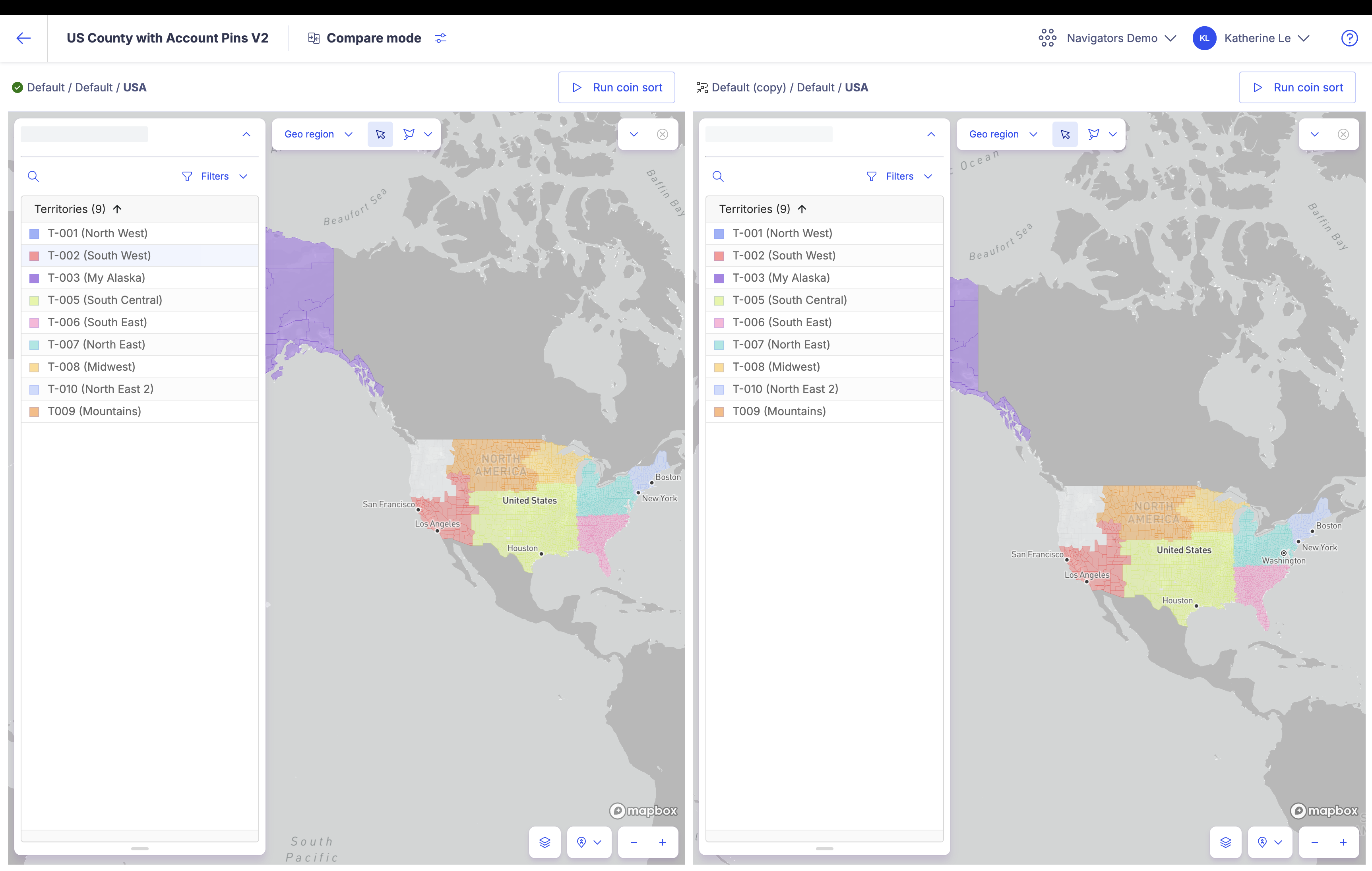
Consistent territory colors when performing map comparison
When you upload territory rules, a color is assigned to each territory, which then displays on the Sales Planning map. These colors remain consistent across all scenarios, ensuring that during a split map comparison, the same territories appear in the same color across different map versions.
Currently the colors are assigned only when you copy a new scneario. Once copied, changing colors for individual territories manually will not impact the territory colors in the copied scenario.

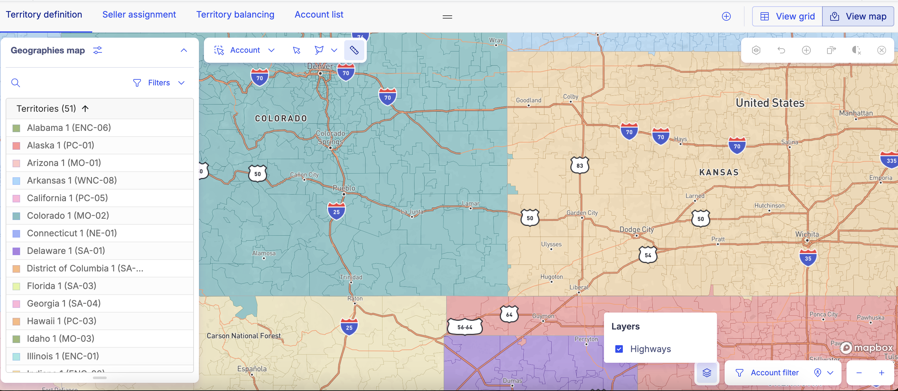
Visualize highways on the map
We have added a new visualization option that allows you to highlight highways on the Sales Planning map. This helps you plan your assignments better as you have visual representation of the distance between sellers and accounts. To highlight highways, just click on the new  icon at the bottom right corner of the map and select the Highways layer.

Currently, this is only available for territories in the US. To learn more, read Highlighting highways on the map.
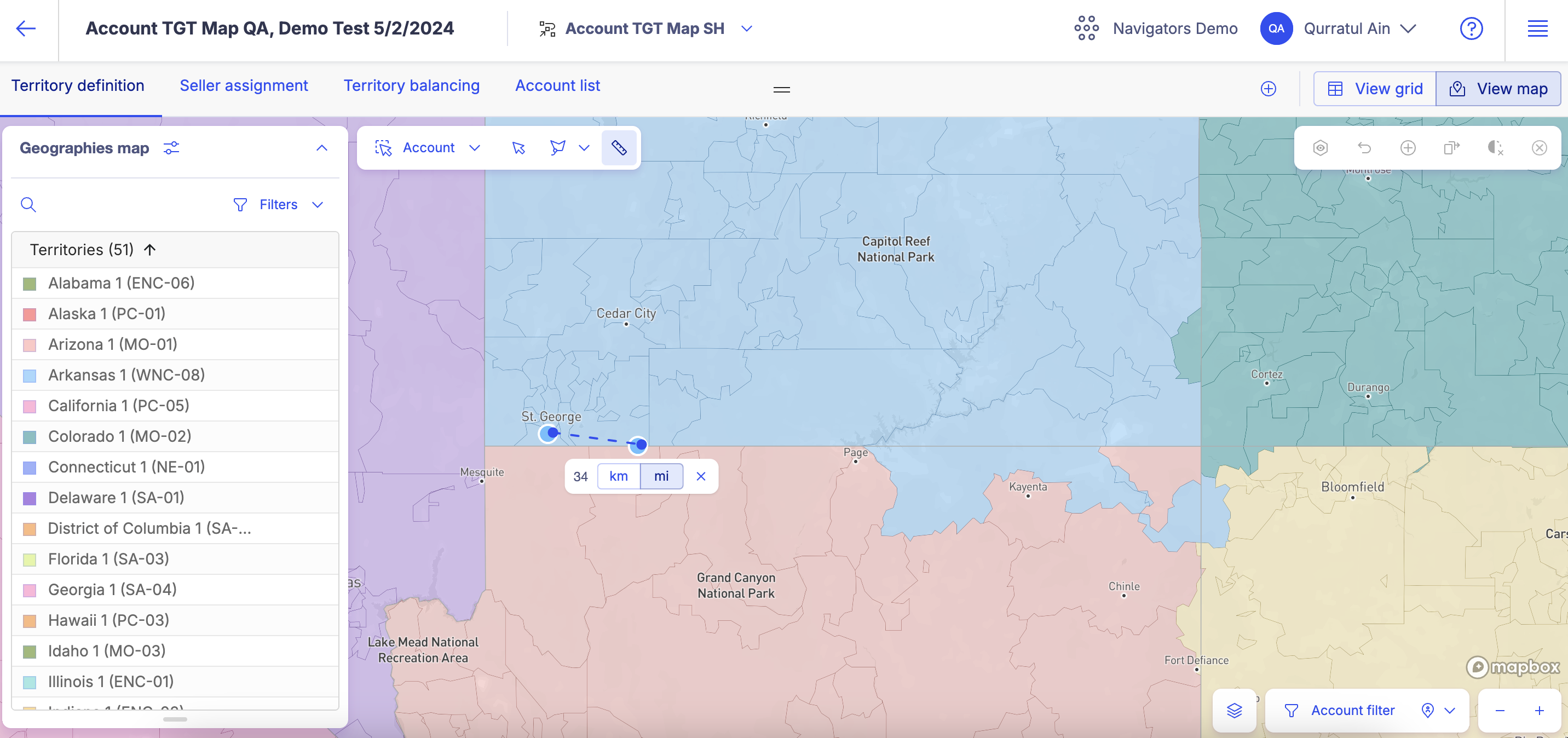
Calculate distance between areas on the map
You can now calculate the distance between different points on the Sales Planning map. The new  option allows you to select different points on the map and shows you the distance between the two points in miles or kilometres. This helps in planning your territory and seller assignments by allowing you to measure the distance between different accounts, or between sellers and their assigned accounts and more.

To learn more, read Calculating distances on the map.
New filter options to help balance your territories
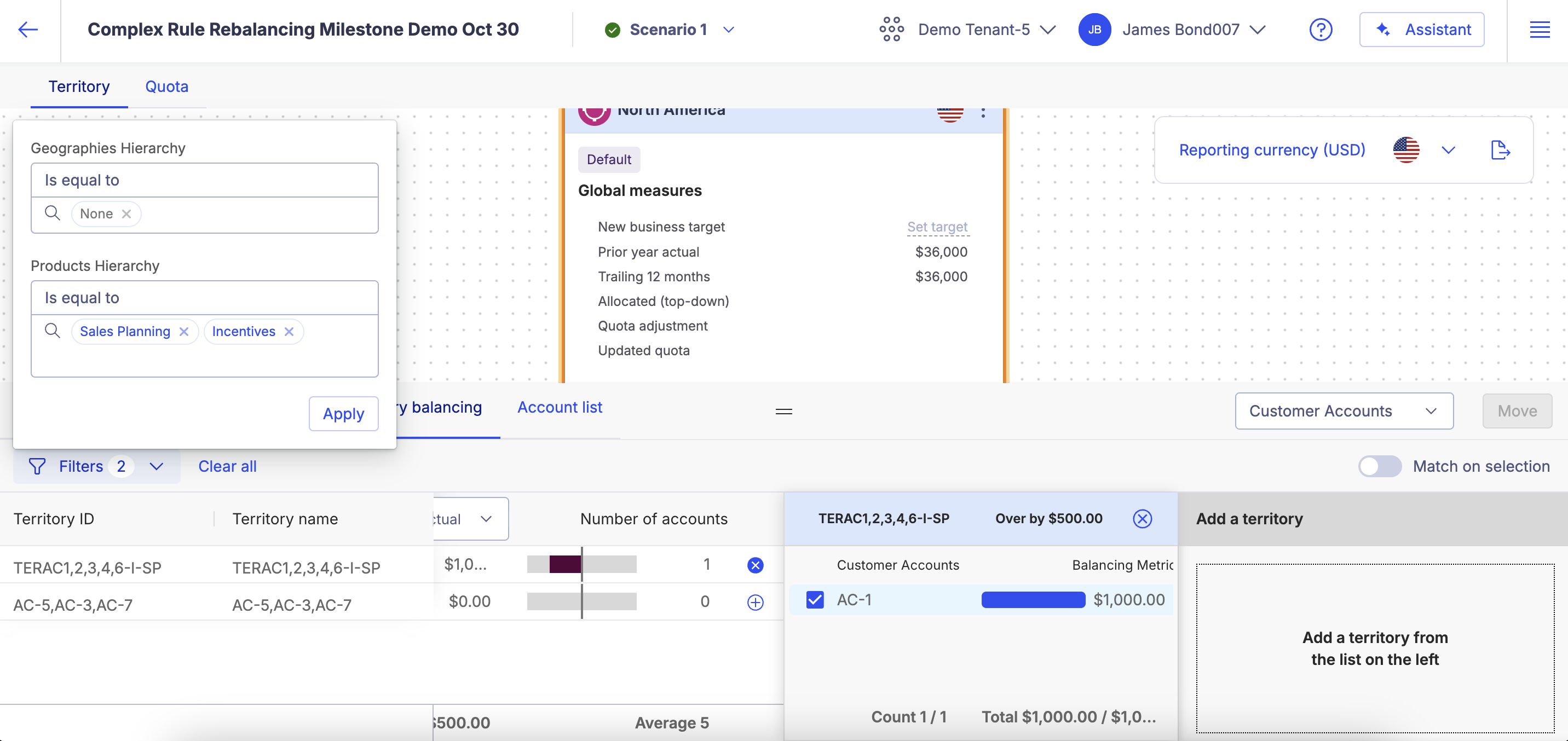
Balance your territories that are defined by complex rules seamlessly with the new filter options available in Territory balancing. With this new option, you can filter your list of territories down to only those that have matching hierarchy data.
For example, if your balancing criteria is Customer accounts, you can use the filters to display only territories where the territory rules include "Laptop" as the product and "California" as the geography. When you pull in these territories into the balancing editor, the customer accounts you see would all have the same product hierarchies and geographies hierarchies in their rules. You can then simply just move a customer account from one territory to another while all the other territory rule components remain consistent.
The filters allow you to look for exact matches. If you don't select anything as your parameter, the search will return results with the assumption that you are looking for territories that do not include any hierarchies in their rules.

To learn more, read Balancing your territories with complex rules.
Assigned seller quota are now calculated from the imported file
When you upload a Seller assignment file in the Manage version, the Assigned seller quota will now be calculated and display on the Seller quota grid under the corresponding column. For improved performance, we have also set a maximum limit of 4,000 rows for the file. If your file has more than 4000 rows, it is best to split your file. If any rows fail, all other rows will be successfully uploaded.
To learn more, read Importing seller assignment files.
Import territory rules into overlay battle cards
We have enhanced the scope of the territory rule file so that you can use the territory import functionality to inherit territory rules from the primary battle card into the overlay battle card. This means that you no longer have to manually create rules for your overlay territories using the rule builder but can import them in bulk instead. To learn more, read Importing territory rules files (overlay battle card only).